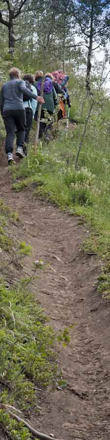
Walking improvements needed What makes a trail nice to walk?
November 15, 2012. Pick a trail you often walk and assess it using the table below. On a scale of 1 - 10, where does your favourite trail rank?
Note that some aspects, such as shortest distance, are appropriate for someone walking to work. This person wants a nice walk, but also, a direct/shortest route. If there's part that goes alongside a road, then that may be acceptable. However, for those out for an after-supper walk, they may have no interest in the trail along the road, rather wanting one that goes in a loop around the local pond.
Other descriptors, such as trailhead close to residence, are important for recreational walkers who wants to get out of the neighbourhood and onto a trail. And knowing the shortcuts inside a neighbourhood could make someone walk to do an errand, rather than drive.

| Trail name, length | |||||
| Brief description: Is it a path between houses to access the greenbelt, a perimeter trail around the neighbourhood, a trail leading downtown, ... | |||||
| Physical features: characteristics of the land | |||||
| natural features, destinations |
|
|
|||
| surface |
|
|
|||
| style of trail/path width |
|
|
|||
| elevation changes |
|
|
|||
| Signage, interpretation: Trailhead, theme signs and stories about the trail | |||||
| signage |
|
|
|||
| interpreted |
|
|
|||
| intersections with other trails |
|
|
|||
| Subjective: tolerances are different | |||||
| quiet | |||||
| safe |
|
|
|||
| travel past development, along road |
|
|
|||
| trailhead close to residence |
|
||||
| scenic |
|
|
|||
| land variety |
|
||||
| shortest route | |||||
| has people features |
|
|
|||
| winter use |
|
|
|||
| Network: what other trails are in the area | |||||
| part of loop trail | |||||
| variety of options to go in different directions |
|
side trails | |||
| variety of trails in network |
|
||||
| variety of times/lengths |
|
||||
| Barriers: what make it that you can't go forward without some fix | |||||
| landform |
|
|
|||
| human-made crossing situations |
|
|
|||
| impenetrable situations |
|
|
|||
| Management: who looks after the trail and who makes rules | |||||
| part of city park |
|
||||
| shared with other user groups |
|
|
|||
| sustainable |
|
|
|||
| trail under stewardship |
|
|
|||
| Maintenance: what things need doing | |||||
| work needed |
|
|
|||